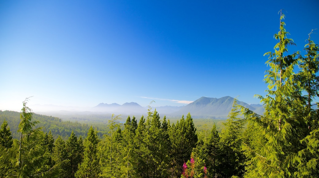
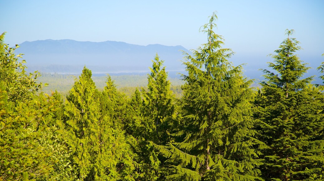
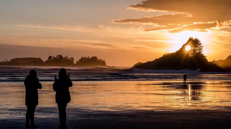
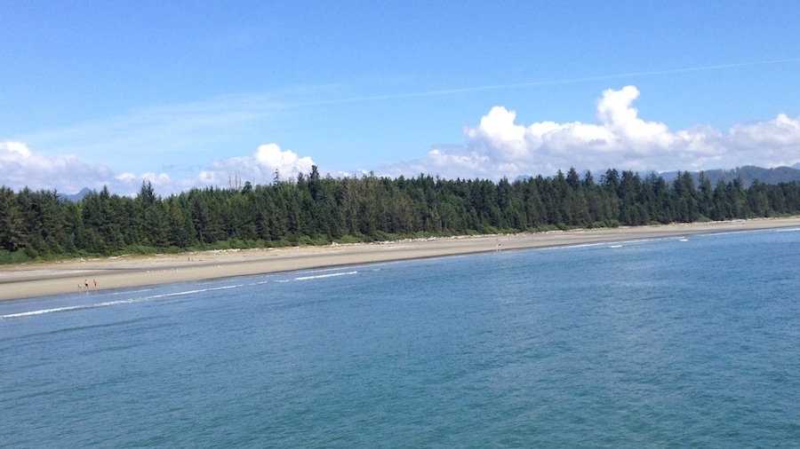
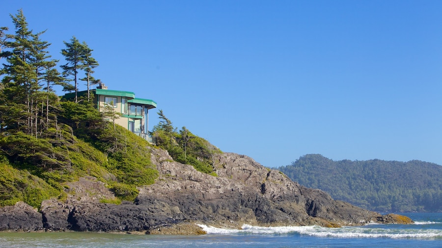
Once a vital part of the country's defenses during war time, Radar Hill is now a vantage point from which to enjoy superb views of Clayoquot Sound. Walk to the summit to look down on forests, waterways and lush green islands.
Radar Hill takes its name from the radar station that was built here to warn against long-range missile attacks during World War II. After the war, the station was part of the Pinetree Line. This was a series of radar warning stations across the United States and Canada to counter the threat from Soviet bombers during the Cold War.
Although the buildings have long since been dismantled, the short ascent to the top is well worth it for the superb views.
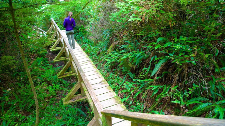
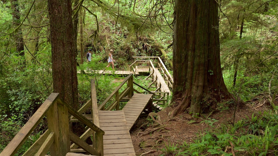
The walk from either the lower or upper parking areas only takes a few minutes and is a gentle climb. The paths are wide and smooth and also wheelchair accessible. Once you are at the summit, enjoy the vistas from your seat in one of the viewing areas. The rugged Pacific coastline stretches out to the west with Radar Beach and Chesterman Bay visible far below you. On a clear day you can also make out Tofino Inlet, Clayoquot Sound and the immense Northern Mountains.
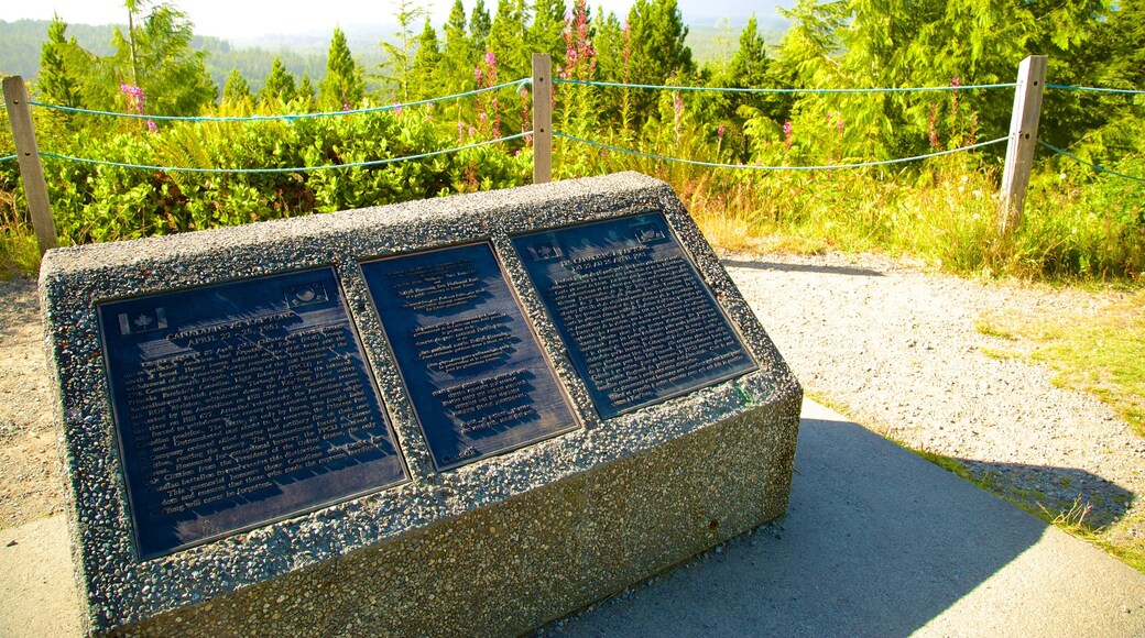
While you are here, study the Kap’yong Memorial. It commemorates a famous battle from the Korean War, which involved Canadian forces. Study the plaque which depicts the action. There are also information panels at the summit that detail the history of the hill and its importance to the defense of North America. Read them to learn about the people who were charged with operating the radar station.
Radar Hill is on the west side of Pacific Rim National Park. It is located between Ucluelet and Tofino. It is approximately a 15-minute drive from Tofino and a 30-minute drive from Ucluelet. The park is open throughout the year and admission fees apply, which includes parking at the hill.
